


Wildfires raging across Greece since yesterday have affected an estimated 25,000 acres (40,000 hectares) of land, according to satellite-based analysis by the Meteo unit of the National Observatory of Athens.
Using data from the VIIRS (Visible Infrared Imaging Radiometer Suite) instrument on polar-orbiting satellites SUOMI, NOAA-20 and NOAA-21, scientists mapped areas where surface temperatures indicate active or recently burned zones. The data was captured at 03:00 local time on August 13, 2025.
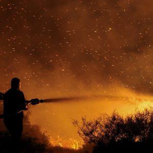
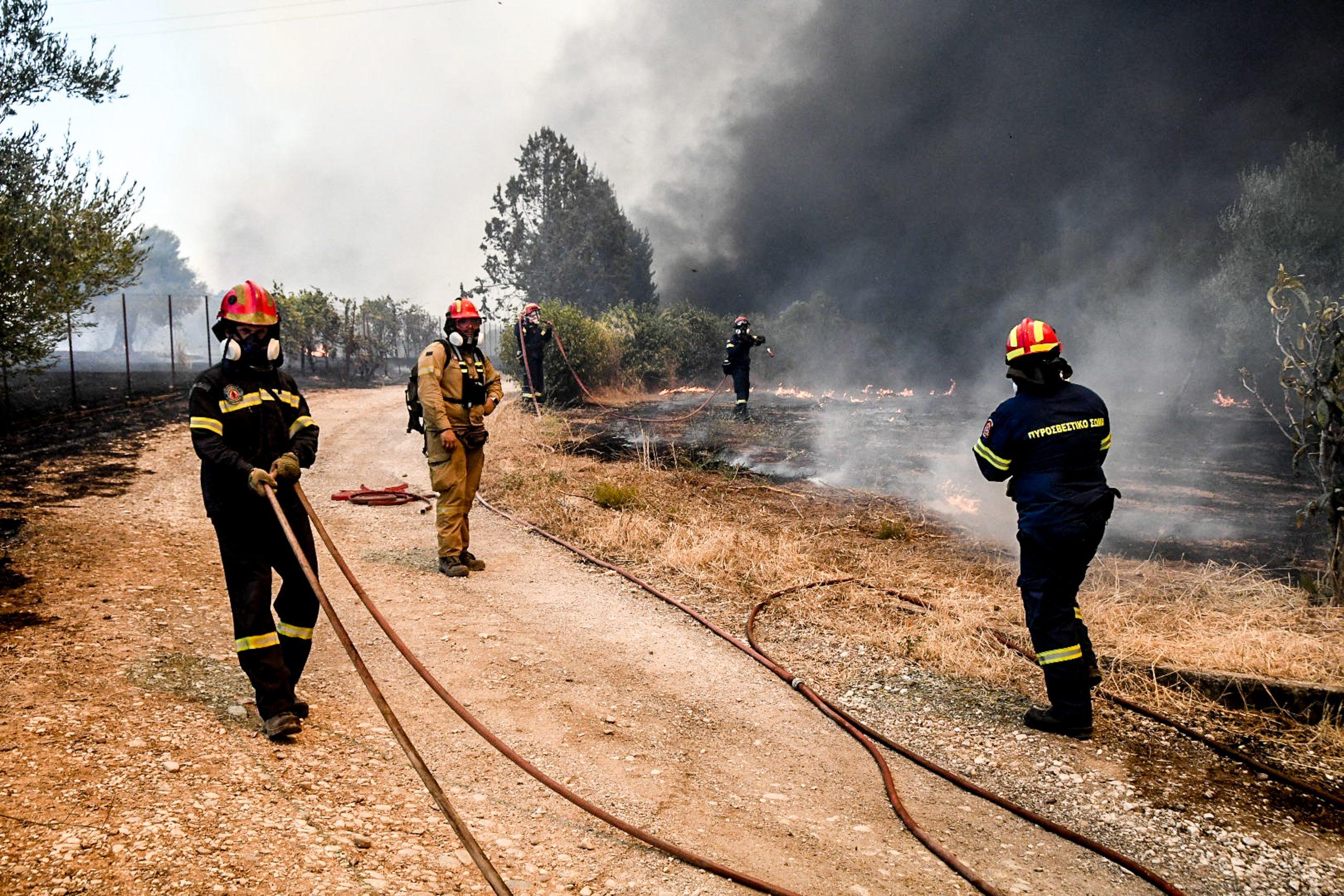
Local residents watch as a wildfire burns in Keratea, near Athens, Greece, August 8, 2025. REUTERS/Stelios Misinas
Largest Fire Zones Identified
Based on the distribution of detected “hot spots,” the six most significant wildfire incidents have affected:
- Chios island: ~10,000 acres
- Moiraika, Achaia: ~5,000 acres
- Zakynthos island: ~4,000 acres
- Filippiada: ~4,500 acres
- Paliambela, Preveza: ~750 acres
- Patras: ~500 acres
Affected Area vs. Burned Land
Meteo researchers stressed that these figures represent the total area impacted by the fires—not confirmed burned acreage. The “affected” area includes zones where flames have spread but may still contain unburned patches.

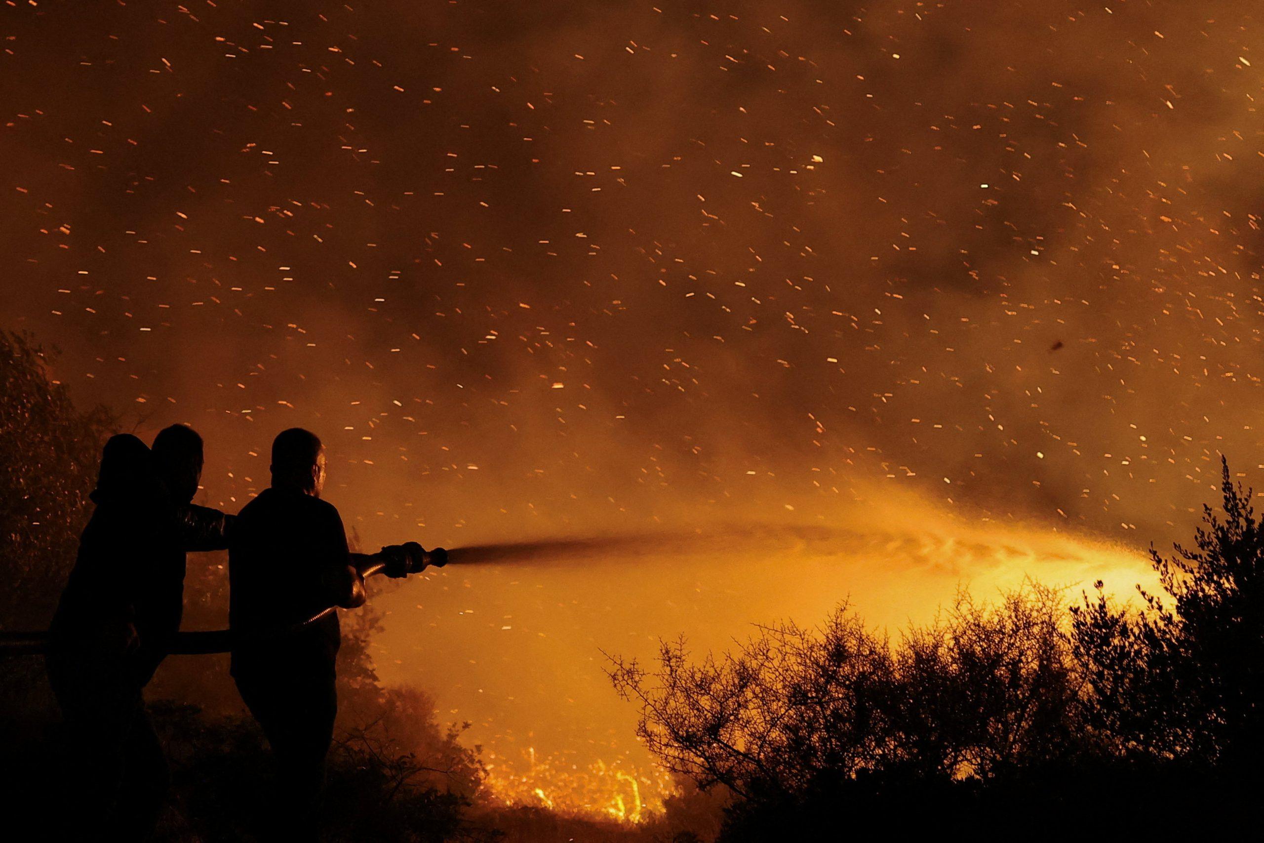
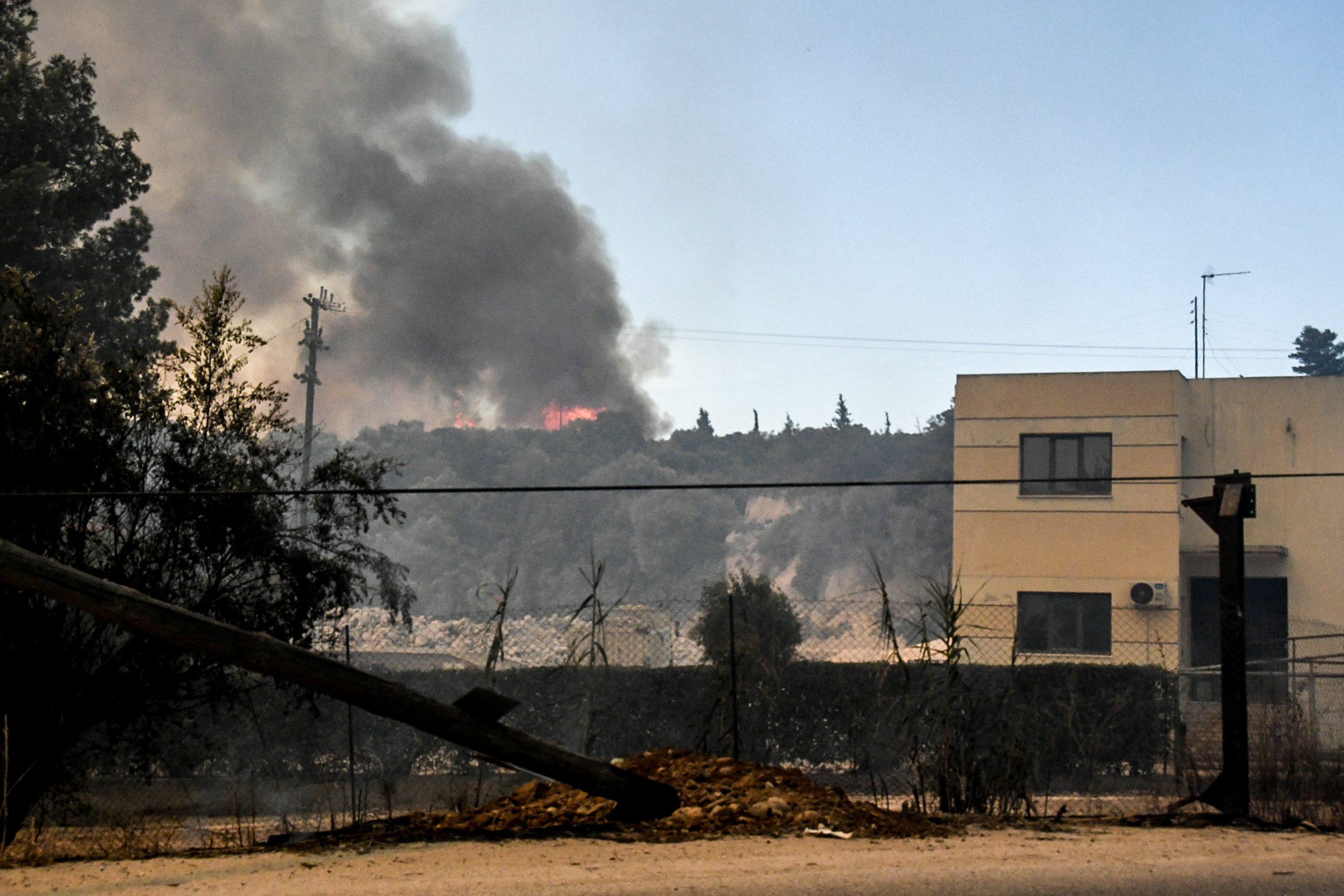
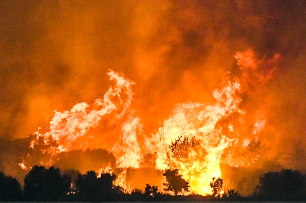
Flames rise as a wildfire burns on the island of Chios, Greece, August 12, 2025. REUTERS/Konstantinos Anagnostou
Precise measurements of burned land will follow once high-resolution satellite images are processed. These will help identify intact vegetation “islands” within the fire perimeters, which cannot be detected through temperature-based mapping alone.
Source: tovima.com