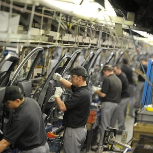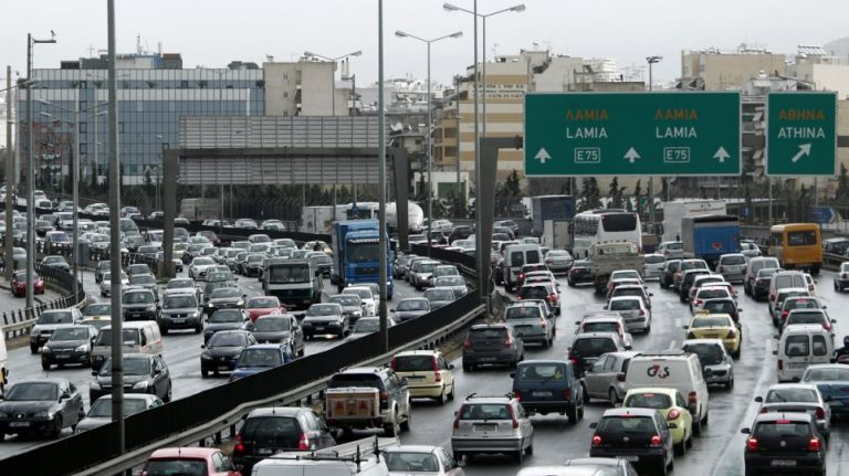


A new innovative tool is now in the “toolbox” of the Attica Region with the aim of facilitating drivers in conditions of high traffic congestion.
The Traffic Management Center of the Region is strengthened through the addition of an application with Smart Cities technology that will work on smartphones and will display in real time the travel times on various road axes, so drivers can select the route with the least traffic.
This application will work in conjunction with the modern electronic message signs that are already in operation and are regulated by the scientific team of transportation experts of the Traffic Management Center, in order to facilitate the daily movements of the citizens of Attica.
Technical description of platform
The solution will incorporate Floating Car Data (FCD) which will be monitored in order to calculate travel times so as to inform commuters and facilitate their route choices with the ultimate goal of decongesting saturated routes. By collecting data from FCDs it will be possible to visualize congested routes as well as journey times so that relevant measurements can be made as well as adjustment through routes covering more than one way for getting from point A to B.
Through the application, users will be able to create routes either by adding the coordinates of each point of interest or by selecting the points on the map, and within minutes the routes will be fed with real-time data.
At the same time, it will be possible to access historical data and it will be possible to combine various data from various points, to look into any problems, so as to investigate the causes that caused them. Historical data will be able to be exported through Business Intelligence tools such as Excel, so that users can easily understand for example the correlation between air quality and noise levels, especially after a route recalculation to improve quality of air in areas where there is a charge.
Platform features
It will be easy to use with one system accessing important data and reports through an easy-to-use graphics interface. The technology will be based on microservices and will be built on a brand new platform and run on a secure cloud system.
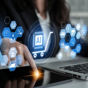
For a sustainable and proactive Mobility Management in the digital age, it is necessary to collect the data in order to evaluate and use them accordingly. The platform will collect the data from multiple sources and areas and also analyze it in real time.
It will then share and process data from different systems in an urban environment and act as an aggregator of relevant mobility data from various sources and evaluate them, with the aim of utilizing them in various ways.