


On the last day of October today, however, the weather remains spring-like and the change is expected to come on Thursday 2/11 with the so-called “Π” type weather according to meteorologist Clearchos Marousakis. In fact, more organized bad weather will come on Sunday, as he typically mentions.
“On Thursday we will see in the west, in the north and in the east of the Aegean a type of “Π” weather, that is, if we observe it, it forms the Greek letter Π [think of an inverted U] with rains in the west towards northern Greece and towards the islands of the eastern Aegean, essentially leaving the inner part of the letter Π which is mainly the central and eastern mainland unaffected,” the meteorologist said.
The passage of the severe weather front will be short, “the temperature will not be particularly affected” says the meteorologist. “This change of weather will last for 24 hours, Friday the weather will improve, Saturday will be good again and on Sunday we expect more bad weather. It looks like Sunday will be murkier with more rain, more dangerous showers and thunderstorms on Sunday and carrying on into early next week. But again the temperature is not significantly affected and the eastern and southern parts are not significantly affected by rains. In other words, the drought persists,” he said in his forecast, on Open channel.


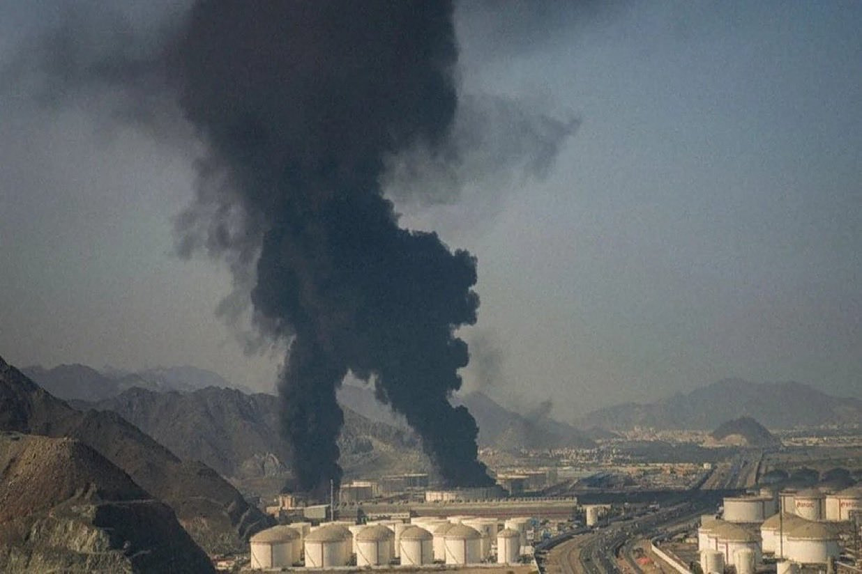
![Μέση Ανατολή: Πώς ο πόλεμος μπορεί να πυροδοτήσει παγκόσμια επισιτιστική κρίση [γραφήματα]](https://www.ot.gr/wp-content/uploads/2022/06/ot_sithra34-2.png)