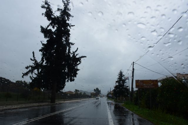


Severe weather front ARIEL is underway, affecting almost the entire country with strong phenomena. For today, strong storms are expected, which will also hit Attica, while the temperature will drop.
According to the weather bureau-EMY forecast, increased clouds with rain and sporadic storms are expected today.
The effects will be strong in places:
a. in the Ionian, the Peloponnese, western and eastern Sterea, Evia and western and southern Crete until the midday hours
b. in central Macedonia, Thessaly and the Sporades until noon and
c. in eastern Macedonia, Thrace, the islands of the northern and eastern Aegean and the Dodecanese from early morning until evening.
Snow will fall in the mountains in the north of the country.
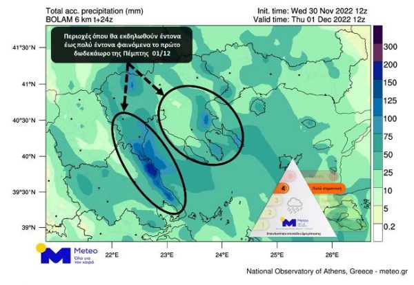
The areas in the heart of the storm
According to the latest forecasts of the National Observatory of Athens/meteo.gr:
Intense and locally very intense phenomena will affect during the first half of Thursday 01/12 the eastern parts of the prefectures of Magnesia, Larissa, Pieria, Halkidiki and possibly areas of Imathia. During the same period, intense phenomena are very likely to occur in the prefecture and in the city of Thessaloniki.
Below is the relevant forecast map of total precipitation for the first twelve hours of Thursday 01/12.