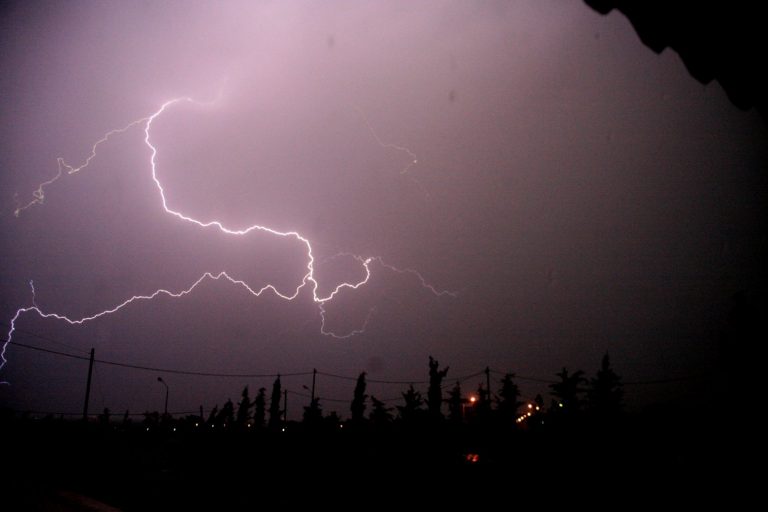


An alert has been sounded for the arrival of severe weather front EVA that will sweep the country starting Friday night, as severe effects are expected in some areas.
Meteorologists call for vigilance over the next few hours, as they predict large amounts of rain fall. In some areas the phenomena will last for a long time, while a high frequency of lightning is expected. At the same time, they are sounding the alarm for flooding phenomena+.
Speaking to MEGA television, meteorologist Yiannis Kallianos spoke of a serious deterioration of weather conditions in the coming days and very strong phenomena in several regions of the country, even warning of flooding phenomena, especially on Saturday.
He also drew attention to the residents of Attica, pointing out that the Basin will likely receive heavy rainfall during Sunday.
The National Wather Service’s forecasts
For today Friday, the weather will initially be clear with sparse clouds in the west and north. From evening, however, the clouds in the northwest will thicken and there will be local rains that will intensify during the night.
Visibility in the morning and evening hours will be locally limited and fog will form in places.
Winds in the west will blow from south directions 3 to 5 and gradually in the Ionian local 6 Beaufort and in the east variable 3 to 4 which will gradually turn to south southwest up to 5 Beaufort.
The temperature will drop slightly mainly in the north. Its maximum value will reach 20 to 23 degrees in places in the north and 23 to 25 degrees Celsius in the rest.
MACEDONIA, THRACE
Weather: Sparse clouds that will gradually thicken from the afternoon and from the west.
Winds: Variable 3 to 4 and light easterlies in the morning east northeast to 4 Beaufort.
Temperature: From 10 to 23 degrees Celsius. In western Macedonia the minimum will be 3 to 4 degrees lower.
IONIAN ISLANDS, EPIROS, WESTERN Mainland, WESTERN PELOPONNISE
Weather: Thin clouds that will gradually thicken in the north and local rains will occur. At night, the phenomena will extend to the rest of the areas and sporadic storms will occur.
Winds: From south directions 3 to 5 and gradually in the Ionian locally 6 Beaufort.
Temperature: From 14 to 25 degrees Celsius. In the interior of Epirus it will be 3 to 4 degrees lower.
THESSALIA, EASTERN MAINLAND, EASTERN PELOPONNESE
Weather: Generally sunny with a few local clouds in the morning hours.
Winds: Variable 3 to 4 Beaufort and gradually from south directions 4 to 5 Beaufort.
Temperature: From 12 to 25 degrees Celsius.
CYCLADES, CRETE
Weather: Generally clear.
Winds: Variable 3 to 4 Beaufort and gradually southwesterly 3 to 5 Beaufort.
Temperature: From 16 to 24 degrees Celsius.
EAST AEGEAN ISLANDS – DODECANESE
Weather: Generally clear.
Winds: Variable 3 to 4 Beaufort and gradually south southwest 3 to 4 Beaufort.
Temperature: From 17 to 25 degrees Celsius. In the north the maximum is 2 to 3 degrees lower.
EVIA
Weather: Generally sunny with a few local clouds in the morning hours.
Winds: Variable 3 to 4 Beaufort and gradually southwesterly 3 to 5 Beaufort.
Temperature: From 15 to 24 degrees Celsius.
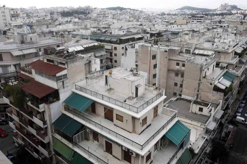
ATTICA
Weather: Generally clear.
Winds: Variable 3 to 4 and gradually south southwest 3 to 5 Beaufort.
Temperature: From 15 to 25 degrees Celsius.
THESSALONIKI
Weather: Generally sunny with a few clouds in the morning hours. From the afternoon, sparse clouds that will thicken in the evening.
Winds: South southeast 3 to 4 Beaufort.
Temperature: From 12 to 22 degrees Celsius.
Rapid deterioration on Saturday and Sunday
On Saturday, conditions in most areas of the country are expected to be intense as there will be rain and storms.
Initially in the west and gradually in the rest of continental Greece, there will be increased clouds with local rains and sporadic storms. The phenomena will be felt from the morning hours in the northern Ionian and Epirus, from midday in the rest of the Ionian, western Central Greece, and western Peloponnese and from the evening in the eastern Peloponnese, Central Greece, eastern Thessaly, western and central Macedonia, will be strong in places and will be characterized by high rain heights, high velocities and high frequency of lightning.
During the night the strong effects will extend to eastern Central Greece (including Attica), Evia and the rest of Thessaly. In the rest of the country, sparse clouds, which will gradually thicken.
Visibility in the morning hours will be locally limited and fog will form in places in the east.
Winds will blow from south directions 4 to 6 and locally in the seas 7 Beaufort.
Humidity will not change appreciably and its maximum value will reach 22 to 24 degrees and in some places to the continental 25 to 26 degrees Celsius.
On Sunday, increased clouds with rain and sporadic storms are expected throughout the country. The effects will be strong in the Sporades, in the Cyclades, in Crete, until noon in the Ionian, until the afternoon in the mainland (except Thrace), while from noon they will also affect the Dodecanese.
It is pointed out that the phenomena in western and central Macedonia, eastern Thessaly and the Sporades will be particularly intense.
The winds will blow from southerly directions 5 to 6 and locally in the Aegean 7 Beaufort. Gradually in the west they will turn to north directions 4 to 5 and in the Ionian locally up to 6 Beaufort.