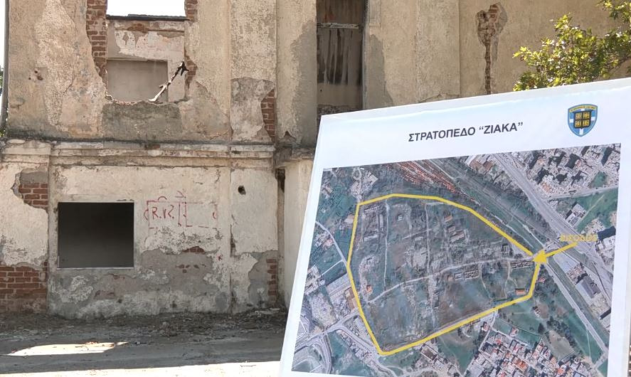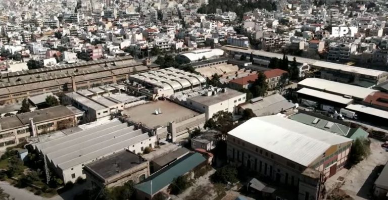


The Ministry of Environment and Energy has started to look into the traffic effects from the relocation of nine ministries to the PYRKAL property in Ymittos. The Traffic Impact Study in the area from the operation of the Government Park has been assigned and, according to ministry sources, it is planned to develop a combined model that will describe the traffic during the morning and noon peak – ie the hours when most of the employees come and go – and will assess the distribution of new movements in the different means of transport, which will be able to access the area of PYRKAL.
This model will be able to estimate traffic impact indicators both in the project area and on the main roads to and from the Government Park, for three different time horizons (base, five-year and ten-year). It will also assess the ability of the existing public transport system serving the area, to take on additional passenger loads.
The study also includes targeted research on the movement of employees in the nine ministries that will be housed in the Government Park. That is why the Secretary General of Spatial Planning and Urban Environment, Mr. Efthymis Bakogiannis, sent a letter to the competent services of the nine ministries in which he points out how important it is to forward the relevant questionnaire to employees, as their answers will provide important information, which will help on the one hand in the optimal organization of the movement of workers and on the other hand in the protection of the surrounding area from additional pollutants, through the elaboration of relevant studies.
The questionnaire asks for information on whether they travel on foot and for how long, if they use a car, bicycle or public transport, etc. They are also asked for their opinion on car pooling.
It should be reminded that in amendments that had been submitted to the Parliament last December (introduced in the law on strategic investments), regulations were passed that provided for the construction of PYRKAL property with the construction of approximately 62,000 sq.m. of buildings, with a maximum height of 28 meters. These give directions for the Special Urban Plan (SUP), for which the competent Deputy Minister of Environment and Energy Mr. Nikos Tagaras had signed in early December the beginning of the elaboration process. The SUP will specify the land uses and will determine the terms and restrictions of construction.
In particular, during its preparation, it should be taken into account that out of the total of 15.5 hectares of the property, 50% will be free spaces and urban green. The remaining 50% will be allocated to urban center uses, for administration services, for social welfare and public infrastructure, for sports and cultural facilities, religious sites, conference centers, research centers, restaurants, refreshments and parking spaces. Shared and public areas will amount to 40%.
The building factor is set at 1.80, the maximum coverage at 60% and the maximum allowed height at 28 meters. In the part of the property, where the free spaces and the urban green will be developed, the cultural installations in the existing buildings will be allowed, which will be considered as preservable.
Forced expropriation will also be allowed, as the creation of administrative spaces and free urban green spaces serves a purpose of public benefit. In fact, in derogation of the legislation, for the assessment of its value – and regardless of whether the expropriated area is subject to the system of objective determination of the value of real estate – will take into account the reports of two independent certified appraisers (registered in the Register of Certified Appraisers ). In the event of a dispute between the two reports, the competent court will take into account the average value resulting from the estimates.